Canada Aerial Imaging Market
Canada Aerial Imaging Market Size, Share, and COVID-19 Impact Analysis, By Platform (Fixed Wing Aircraft, Helicopter, UAV, and Others), By Application (Geospatial Mapping, Disaster Management, Energy and Resource Management, Surveillance and Monitoring, Urban Planning, and Others), and Canada Aerial Imaging Market Insights, Industry Trend, Forecasts to 2035
Report Overview
Table of Contents
Canada Aerial Imaging Market Size Insights Forecasts to 2035
- The Market Size is Expected to Grow at a CAGR of around 12.50% from 2025 to 2035
- The Canada Aerial Imaging Market Size is expected to Reach at a substantial share by 2035
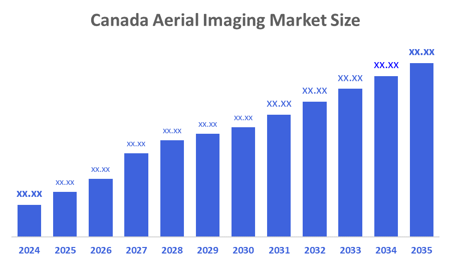
According to a Research Report Published by Decisions Advisors and Consulting, The Canada Aerial Imaging Market Size is expected to Grow at a CAGR of 12.50% during the forecast period 2025-2035. Advances in drone and satellite technology, GIS integration, government investment in geospatial infrastructure, and growing demand in the agriculture, urban planning, energy, defence, and environmental monitoring sectors are driving the Canadian aerial imaging industry.
Market Overview
The Canadian aerial imaging market refers to the industry focused on the production and application of businesses that offer photos and geographical data taken from aerial platforms, including drones, planes, and satellites. Aerial imaging refers to any imagery taken with an airborne vehicle, such as a drone or an aeroplane. Route design, urban planning, volume-based calculations, and mapping updates have all used it. Two important market factors are the growing applications for aerial photographs and the popularity of location-based services. As increasingly advanced technologies like LiDAR systems, 360-degree vision cameras, artificial intelligence, and geographic information systems are employed, the market will experience new growth opportunities. Government, agricultural, infrastructure, environmental monitoring, real estate, insurance, and crisis management are among the industries that use these photos.
The University of British Columbia's Okanagan campus received $1.35 million from PacifiCan to build the first aerial sensing lab in Western Canada. This facility projects $4.5 million in income and supports industries including agricultural and defence by outfitting a small aircraft with infrared, radar, and hyperspectral sensors to assist enterprises in British Columbia with environmental monitoring, security, and hazard detection.
Report Coverage
This research report categorises the market for the Canada aerial imaging market based on various segments and regions and forecasts revenue growth and analyses trends in each submarket. The report analyses the key growth drivers, opportunities, and challenges influencing the Canada aerial imaging market. Recent market developments and competitive strategies, such as expansion, product launch, development, partnership, merger, and acquisition, have been included to draw the competitive landscape in the market. The report strategically identifies and profiles the key market players and analyses their core competencies in each sub-segment of the Canada aerial imaging market.
Driving Factors
The explosive growth and the significant investments in the aerospace and defence sector made by top automakers in next-generation drives the industry revenue. The market for Canadian aerial imaging is primarily driven by the investments by the government in infrastructure, environmental monitoring, and disaster management. Further, companies in different industries are leveraging the benefits of real-time and high-resolution information through drone-based data collection services. Moreover, drones provide immediate aerial perspectives of construction locations, allowing project managers to oversee progress, assess safety, and confirm compliance with schedules. Additionally, it helps in agriculture by helping farmers decrease synthetic inputs and offering precise spraying techniques that lower chemical consumption. Besides, in farming, drones offer farmers comprehensive images of crop conditions, allowing them to make prompt decisions about watering, fertilising, and pest management.
Restraining Factors
The Canadian market for aerial imagery is expanding quickly, but some obstacles are limiting its growth. Adoption of modern technology, drones, and sensors is challenging for smaller businesses and governments due to their high cost; also, deployment is slowed by privacy issues, airspace limitations, and regulatory obstacles, particularly in metropolitan areas.
Market Segmentation
The Canada aerial imaging market share is classified into platform and application.
- The UAV segment dominated the market in 2024 and is anticipated to grow at a significant CAGR during the forecast period.
The Canada aerial imaging market is segmented by platform into fixed wing aircraft, helicopter, UAV, and others. Among these, the UAV segment dominated the market in 2024 and is anticipated to grow at a significant CAGR during the forecast period. This superiority is due to improvements in UAV technology, such as better flight performance and high-definition imaging systems. Its extensive use in agriculture, construction, and defence sectors is fueled by effectiveness and economic viability. Additionally, UAVs are highly effective in gathering accurate information from inaccessible locations, increasing their usefulness and market appeal. These elements emphasise the essential function of UAVs in fostering innovation and development in the aerial imaging sector.
- The surveillance and monitoring segment held a significant share in 2024 and is expected to grow at a notable CAGR over the forecast period.
The Canada aerial imaging market is divided by application into geospatial mapping, disaster management, energy and resource management, surveillance and monitoring, urban planning, and others. Among these, the surveillance and monitoring segment held a significant share in 2024 and is expected to grow at a notable CAGR over the forecast period. This segment expansion contributed to the market growth due to the growing need across industries for sophisticated monitoring solutions and real-time data collection. Moreover, the segment's growth is also being aided by the growing use of drone technology for wildlife monitoring, border control, and disaster relief.
Competitive Analysis:
The report offers the appropriate analysis of the key organizations/companies involved within the Canada aerial imaging market, along with a comparative evaluation primarily based on their product offering, business overviews, geographic presence, enterprise strategies, segment market share, and SWOT analysis. The report also provides an elaborative analysis focusing on the current news and developments of the companies, which includes product development, innovations, joint ventures, partnerships, mergers & acquisitions, strategic alliances, and others. This allows for the evaluation of the overall competition within the market.
List of Key Companies
- Aethon Aerial
- KorrAI
- Maxar Technologies
- Harris Corporation
- ESRI Canada
- Others
Recent Developments:
- In November 2025, New operating categories in line with Transport Canada's revised drone regulations will be supported by NAV Canada's NAV Drone app. These modifications eliminate the requirement for specific flight certificates by extending authorisation for medium-sized drones beyond visual line-of-sight (BVLOS), extended visual line-of-sight (EVLOS), and protected operations.
- In May 2024, Canada introduced exciting upgrades in aerial imaging for large projects, led by ERIS (Environmental Risk Information Services). These enhancements provide high-resolution imagery, seamless integration into ERIS Xplorer, advanced overlay tools, and robust reporting capabilities for large custom areas and linear projects
Key Target Audience
- Market Players
- Investors
- End-users
- Government Authorities
- Consulting and Research Firm
- Venture capitalists
- Value-Added Resellers (VARs)
Market Segment
This study forecasts revenue at Canada, regional, and country levels from 2020 to 2035. Decisions Advisors has segmented the Canada aerial imaging market based on the below-mentioned segments:
Canada Aerial Imaging Market, By Platform
- Fixed Wing Aircraft
- Helicopter
- UAV
- Others
Canada Aerial Imaging Market, By Application
- Geospatial Mapping
- Disaster Management
- Energy and Resource Management
- Surveillance and Monitoring
- Urban Planning
- Others
FAQ
- What CAGR is the Canadian aerial imaging market expected to register?
The market is expected to grow at a CAGR of around 12.50% during 2025–2035.
- Which factors are driving market growth in Canada?
Key drivers include advances in drones and satellites, integration with GIS and AI, government investment in geospatial infrastructure, and rising use in agriculture, urban planning, energy, defence, and environmental monitoring.
- How is the Canadian aerial imaging market defined?
It covers businesses that capture and process images and geospatial data from aerial platforms such as UAVs, fixed-wing aircraft, helicopters, and satellites for applications like mapping, route design, planning, and volume calculations.
- Which platforms are covered in the market segmentation?
Platforms include fixed-wing aircraft, helicopters, UAVs, and other aerial systems.
- Which platform segment dominated the market in 2024?
The UAV segment dominated in 2024 and is expected to grow at a significant CAGR due to better flight performance, HD imaging, cost efficiency, and the ability to access hard-to-reach areas.
- What are the main application segments?
Applications include geospatial mapping, disaster management, energy and resource management, surveillance and monitoring, urban planning, and other niche uses.
- Which application segment held a significant share in 2024?
The surveillance and monitoring segment held a significant share in 2024 and is projected to expand notably, driven by use cases such as wildlife monitoring, border control, security, and disaster relief.
- What are the major restraining factors for this market?
High costs of advanced drones and sensors, limited budgets for smaller entities, along with privacy concerns, airspace restrictions, and regulatory hurdles especially in urban areas constrain adoption.
- Which industries are major end-users of aerial imaging in Canada?
Government, agriculture, infrastructure, environmental monitoring, real estate, insurance, and crisis management are among the key end-use sectors.
- Who are some key companies in the Canadian aerial imaging market?
Notable players include Aethon Aerial, KorrAI, Maxar Technologies, Harris Corporation, ESRI Canada, and others.
Check Licence
Choose the plan that fits you best: Single User, Multi-User, or Enterprise solutions tailored for your needs.
We Have You Covered
- 24/7 Analyst Support
- Clients Across the Globe
- Tailored Insights
- Technology Tracking
- Competitive Intelligence
- Custom Research
- Syndicated Market Studies
- Market Overview
- Market Segmentation
- Growth Drivers
- Market Opportunities
- Regulatory Insights
- Innovation & Sustainability
Report Details
| Scope | Country |
| Pages | 166 |
| Delivery | PDF & Excel via Email |
| Language | English |
| Release | Dec 2025 |
| Access | Download from this page |